Satellite Images Show Venezuela Quake Damage
2 sources · first reported Yesterday
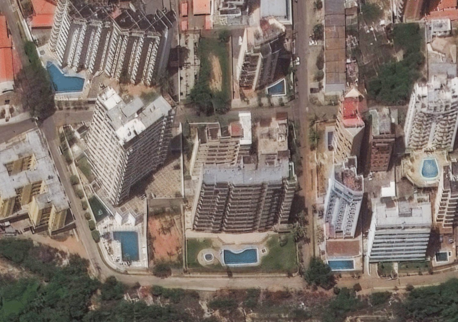
Satellite images reveal the extent of destruction in Venezuela's coastal city of La Guaira after twin earthquakes struck, causing widespread devastation and loss of life. The images compare the city before and after the earthquakes, showing the scope of the damage. Over 900 people were reported dead after the earthquakes hit on Wednesday.
Why it matters
The use of satellite images highlights the importance of space-based assets in disaster response and assessment, providing critical information for relief efforts. This technology can be applied to various defense and national security applications, such as damage assessment and situational awareness.
Independent Media 2
Single-source: Independent Media
Development timeline
How this story unfolded across sources, oldest first.