China Maps Typhoon in 3D Using Drone Swarm
2 sources · first reported 3h ago
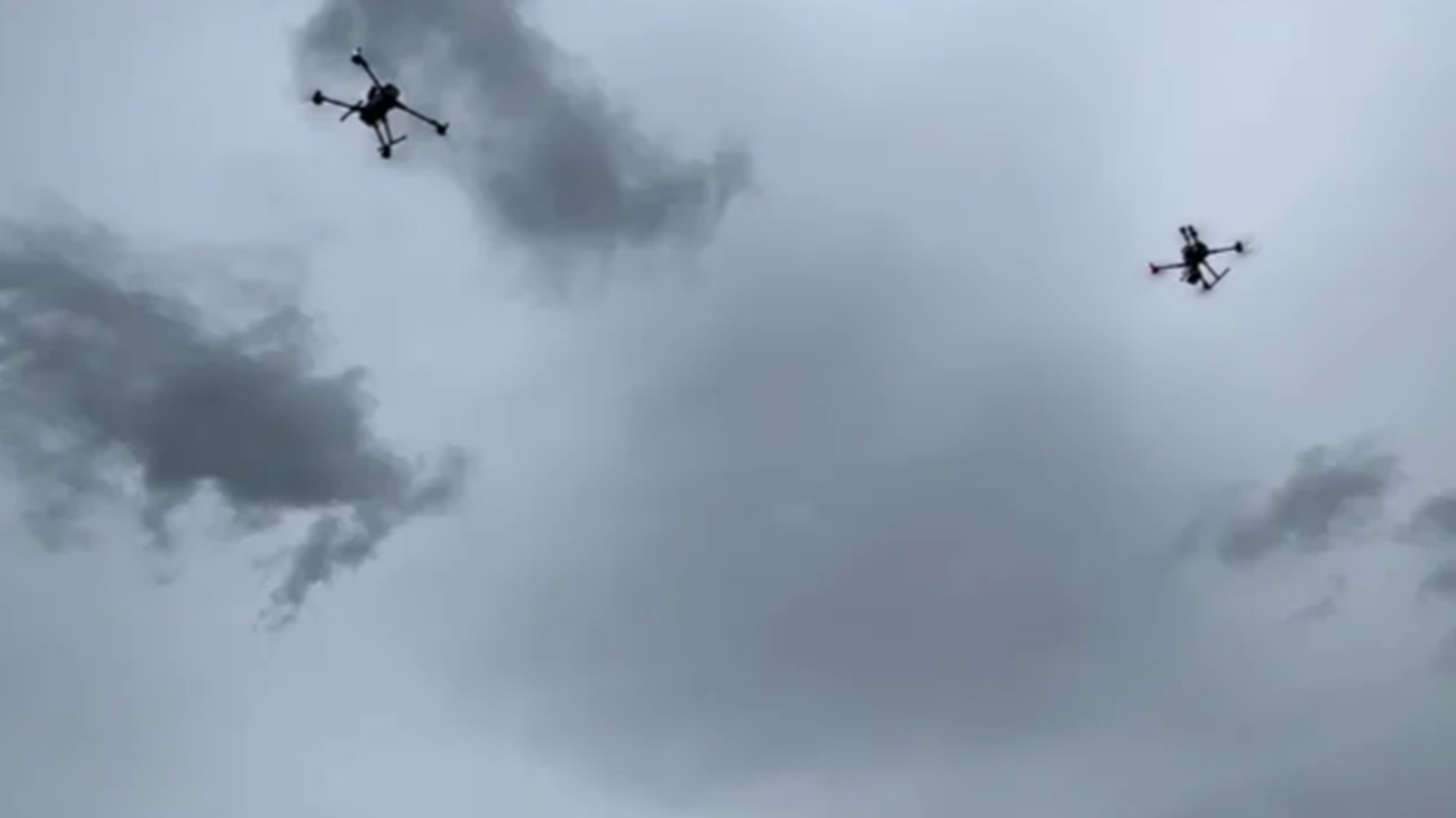
China has successfully mapped Typhoon Noul in 3D from start to finish using a swarm of drones. The drones were deployed as the typhoon made landfall in Guangdong Province. This achievement demonstrates China's advancements in drone technology and its applications in meteorology.
Why it matters
This technology has significant implications for weather monitoring and prediction, and could potentially be used for military applications such as ISR and situational awareness.
Independent Media 2
Single-source: Independent Media
Development timeline
How this story unfolded across sources, oldest first.